Built for government workflows
A ULB GIS-MIS fails when it is a map without a process. Ours is designed around departmental review cycles, standardized map production and bilingual (Odia/English) documentation — so the system survives staff transfers and audit questions, not just the inauguration.
For Chatrapur NAC we delivered NAC-wide coverage: administrative boundaries, plot-level property mapping, POI extraction and repeatable QGIS Atlas cartographic outputs the municipality can regenerate ward-by-ward on demand.
What the platform includes
Property and holding survey with unique IDs linked to tax records; sanitation, water, electrification and sewerage attributes per holding; ward and slum boundary layers; road and drainage assets; and web dashboards with mobile field apps for updates — the full loop from survey to service delivery.
Open standards, no lock-in
Everything runs on open formats and open-source platforms (QGIS, PostGIS, GeoServer, Leaflet/OpenLayers). Your data stays yours — exportable, auditable and independent of any single vendor.
Deliverables you receive
- Drone orthophoto base map of the ULB area
- Property/holding layer with attribute survey & unique IDs
- Ward, boundary, road, drainage and asset layers
- Standardized map series (QGIS Atlas) per ward
- Web GIS dashboard + Android field data app
- Training & bilingual documentation for ULB staff
Specifications & standards
| Parameter | What we deliver |
|---|---|
| Coverage | Full NAC/Municipality jurisdiction |
| Base map | Drone orthophoto, 5 cm class |
| Database | PostGIS spatial database, open schema |
| Map production | Repeatable QGIS Atlas templates |
| Access | Role-based web dashboard + mobile app |
| Handover | Data, templates, training — no lock-in |
Recent work
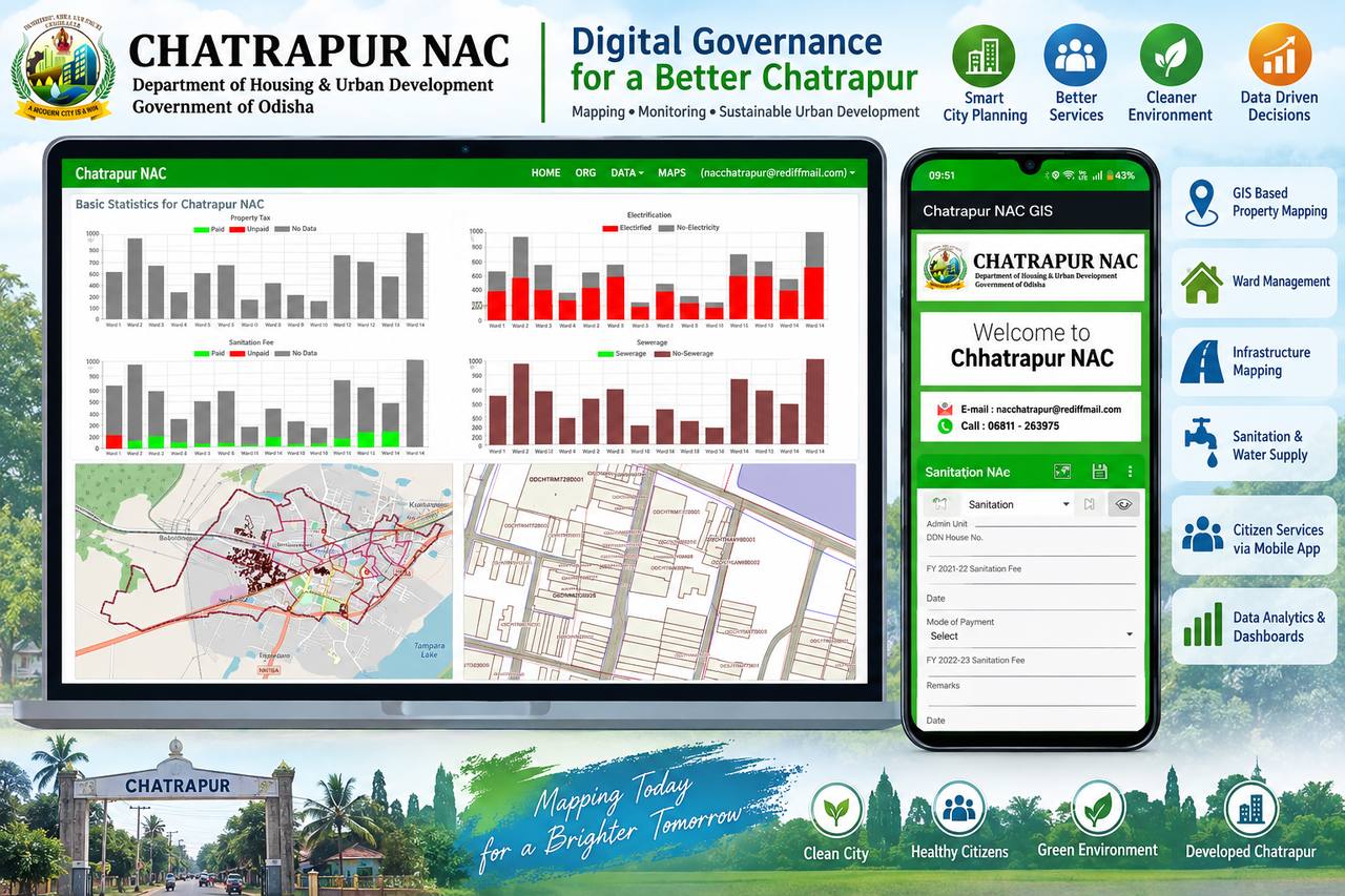 Chatrapur NAC GIS-MIS
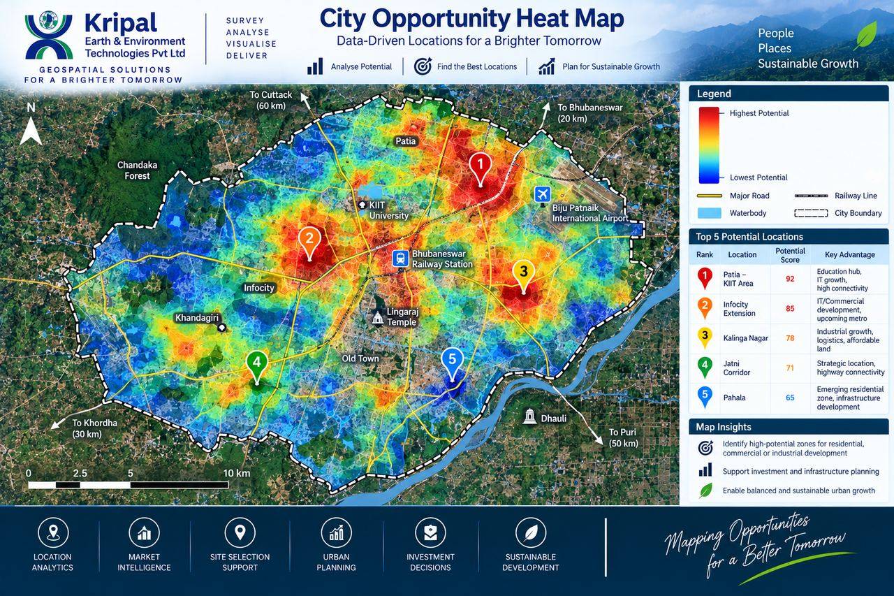 City Opportunity Analysis
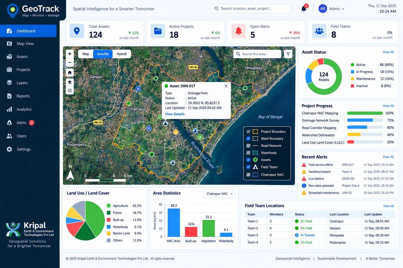 GeoTrack Web GIS Platform